Project
Water Level Sensor Network

Overview
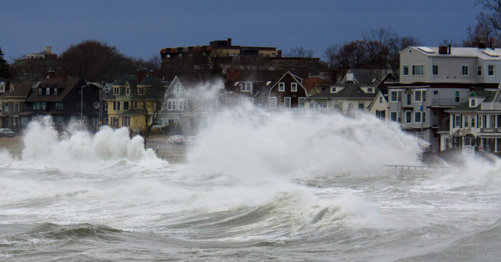
NROC, NERACOOS and other partners have established a water level monitoring network to enhance coastal resilience by improving access, quality, and coverage of water level observations throughout the Northeast. The network provides tools and resources to help coastal managers plan and respond to increasing impacts from coastal storms and flooding.
- The network hosted a technology workshop to increase knowledge and understanding about tools, techniques, best practices, and methods for collecting and reporting real time water level data.
- NROC and partners conducted outreach throughout New England to identify existing water level monitoring stations and identify potential locations for new sensors to fill monitoring gaps and address key regional and community priorities.
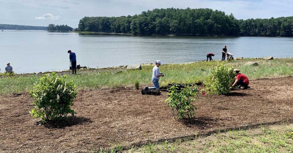
- The network has been working together to install new water level monitoring sensors at priority locations.
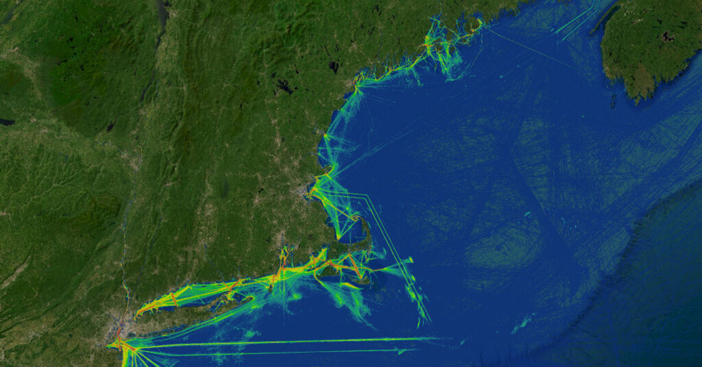
- The project team developed a map of water level sites to highlight existing, planned, and proposed water level monitoring stations throughout New England.
- NERACOOS and GMRI recently launched a new water level dashboard that coastal managers along with any members of the public can utilize to access and understand real-time data from water level sensors.
- The network regularly convenes coastal managers to understand monitoring needs, provide support for operations, identify locations for future monitoring, and advance tools for reporting and analysis of water level data.
Partners
- Gulf of Maine Research Institute
- National Oceanic and Atmospheric Administration
- Northeast Regional Association of Coastal and Ocean Observing Systems (NERACOOS)
- U.S. Geological Survey
Contact
This is a project of NROC’s Coastal Hazards Resilience Committee. For more information about this project, contact jleblanc@northeastoceancouncil.org.