Project
Habitat Classification and Ocean Mapping

Overview
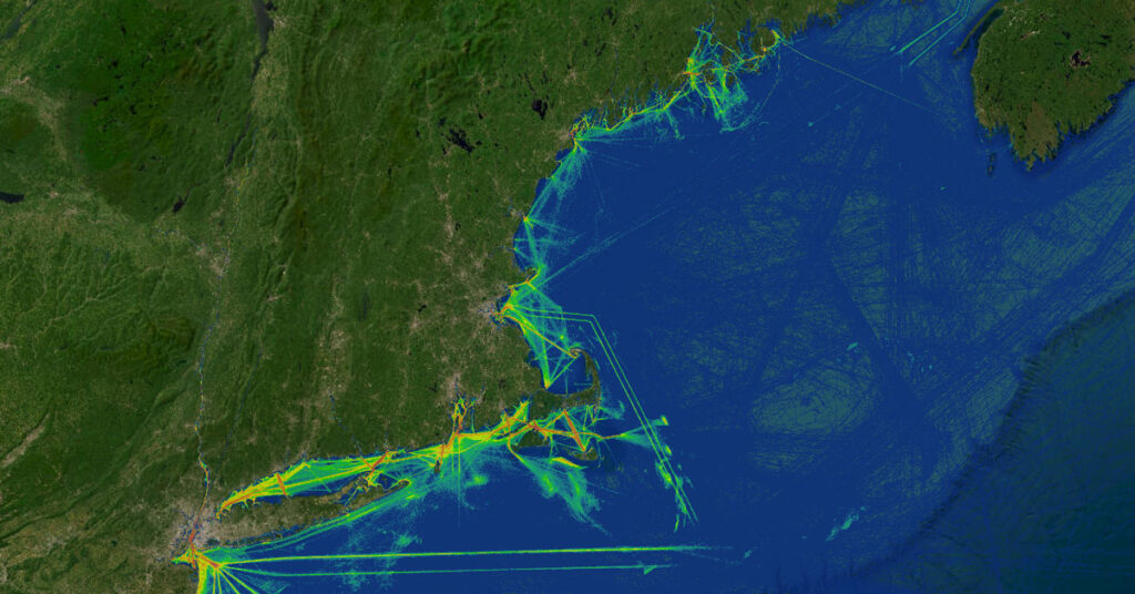
The Habitat Classification and Ocean Mapping (HCOM) Subcommittee coordinates and collaborates on the seafloor mapping needs of New England to acquire high-quality regional seafloor data to produce regional mapping products for ongoing and emerging management challenges. Working with regional partners, HCOM develops and updates associated seafloor mapping priorities for the Northeast to inform and guide state and federal investments in seafloor mapping and characterization. Upcoming work will address priority shifts in data needs and products as mapping in the region occurs, outreach to additional sectors and regional partners to identify mapping needs, and coordination with researchers, data collectors, and technology providers to better understand options for seafloor data applications.
Partners
- C
Contact
This is a project of NROC’s Ocean and Coastal Ecosystem Health Committee. For more information about this project, contact Amy Trice, NROC, atrice@northeastoceancouncil.org.